If you’re in the French River area and your legs are itching to go, the French River Multi-Use Trails offer little-known walking and riding options. The trail network consists of three main multi-use routes, with three shorter non-motorized-use side trails branching off. I’ve previously written about our excursion walking Pioneer Trail to Lac Barbotte Lookout, but since then, we’ve also walked the length of Pioneer and Logger’s Trails, as well as the lengthier Barbotte Trail.
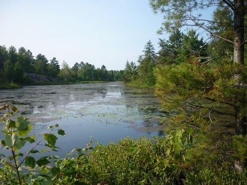
Now, hikers and walkers aren’t the only ones who’ll enjoy these trails. Those who ride ATVs, dirt bikes, mountain bikes, or especially, horses, will probably like these trails most! So that means those on foot should watch where they step, as there’s lots of evidence of equestrian trail rides on the ground (winky face).
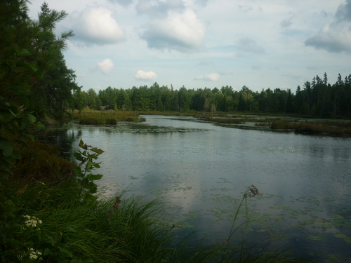
The routes that form the French River Multi-Use Trails network are all on crown land and are free to access for all users during the spring, summer, and fall. However, those wishing to support the French River Multi-Use Trails Association (FRMUTA) may purchase a voluntary pass (individual, seasonal, and family permits are available). In wintertime, snowmobile riders need to obtain a trail permit from the French River Snowmobile Association.
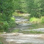
Because the main routes are suitable for small motorized vehicles, these trails are wide and easy to walk. Though the non-motorized-use side trails are narrower and more natural, there aren’t really any challenging features to slow anyone down.
Pioneer Trail
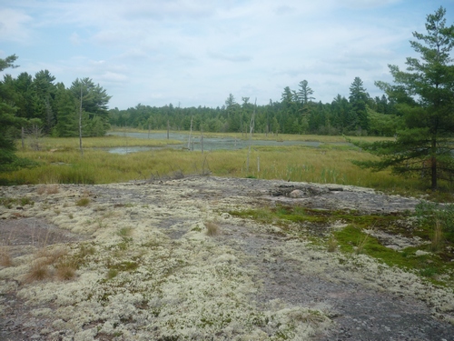
Pioneer Trail is a linear route that crosses Barbotte Trail, not quite at the latter’s halfway point. Beyond, Logger’s Trail extends the route even further. Considering that Pioneer Trail is 8 kilometres one way, and Logger’s Trail is another 4 kilometres, walkers will probably need 3 to 5 hours to complete the whole route, even if choosing also to incorporate the short Lac Barbotte Lookout side trail. Pioneer Trail is accessed on Mayer Road in Noëlville — a sign marks the trail head.
Barbotte Trail
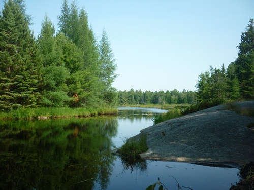
Barbotte Trail is the longest of the three main routes in the French River Multi-Use Trails system. At 15 kilometres, walkers should allow 4 to 6 hours to complete the trail in one direction. There are several lookout points along the way, as well as a picnic area at the intersection of Barbotte, Pioneer, and Logger’s Trails. If you’ve got a willing driver, you can arrange to drop off your vehicle at one end and then get a ride to the other, hiking back to where you parked. Access is either at the end of Mayer Road, or on Trout Lake Road between the Taillon Road junction and Happy Landing.
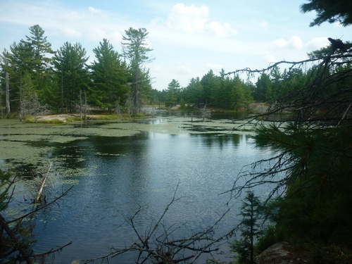
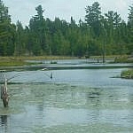
Barbotte Trail is well-known for plentiful wildlife sightings, since it passes by several wetland areas. On the day we were there, we got very lucky and saw a partridge, two moose, and an osprey circling her nest.
Browse the French River Multi-Use Trails Wildlife gallery — click any image above to view a full-sized version in a pop-up carousel.
Boisvenue Trail
The third main route, Boisvenue Trail, is yet another 12-kilometre linear section of the French River Multi-Use Trails network. Not far from the access point at the end of Mayer Road, The Lake Above Trail adds another 2 kilometres return to the route, which ends at the intersection of Montée Boisvenue Road and Highway 64 in Alban. In this case, I’d suggest leaving your car at the trail head in Noëlville and asking someone to meet you for dinner or drinks at the Beauséjour Inn before getting a ride back (smiley face).
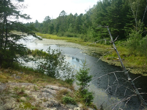
Boisvenue Trail is the one route we haven’t fully walked yet, and we’re definitely looking forward to it since it used to be a well-travelled road, so it’s got a bit of local history attached to it. Our country walks on the French River Multi-Use Trails have always been spur of the moment, so that could be sooner than we think!
Conclusion
All in all, there are quite a few good trail options around Noëlville, partly thanks to the French River Multi-Use Trails Association and its volunteers. If you’re ever caught wondering what to do around here, stop, and go for a walk — or a ride, if that’s what suits your fancy.
Info on Walking the French River Multi-Use Trails
- Browse the FRMUTA website
- View a map of the trails [4070kb PDF]
More Trails Around French River
- Visiting Mashkinonje Provincial Park: A Guide (contains multiple routes, including one which connects to the Trans Canada Trail)
- Weekend Hike to Five Finger Rapids on the French River (details on hiking Dokis First Nation’s Papase Trail)
- Outdoor Recreation in the French River and Lake Nipissing Area (info on Grundy Lake Provincial Park, Récollet Falls Trail, and more)
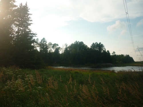



The Boisvenue trail is very multi use as it includes dump trucks that access the local pits… Not the wilderness serenity I was looking for on my walk or bike ride.
Huh, no kidding! I wasn’t aware of that, so thanks for the info…